


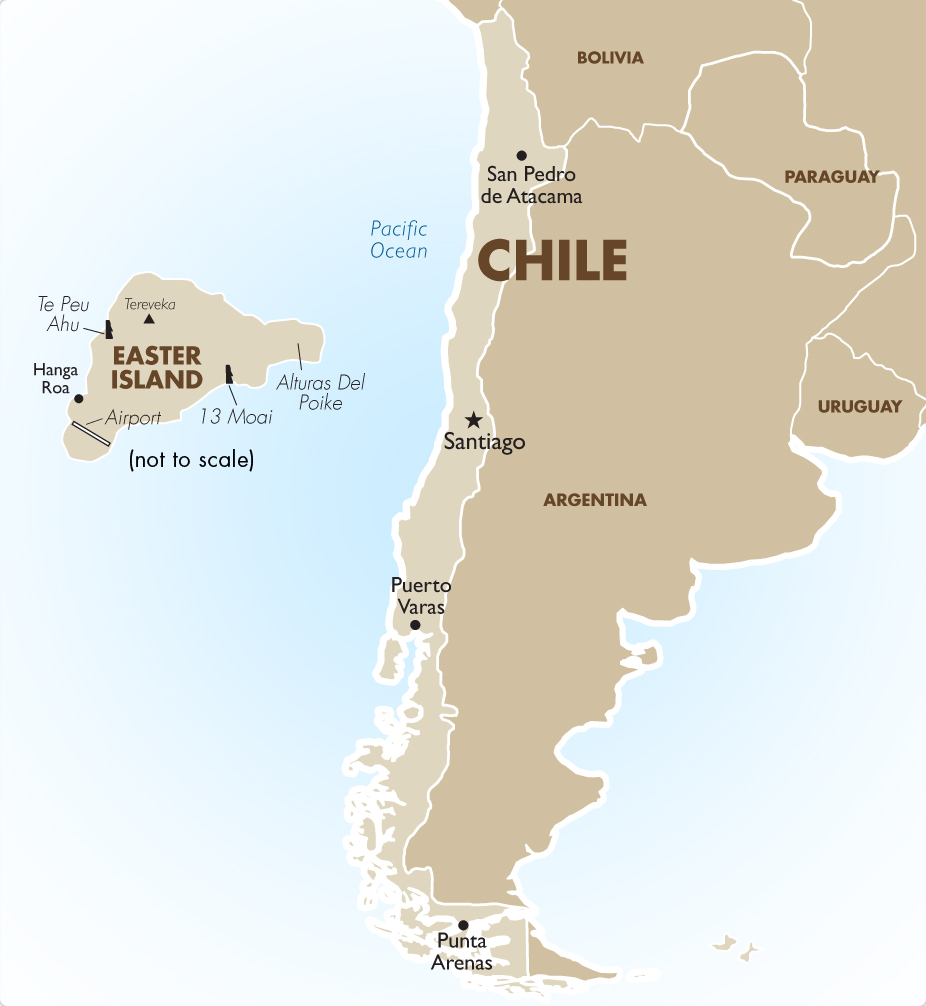
About Chile
ABOUT CHILE
Chile stretches over 4,300 km along the southwestern coast of South America although the width never exceeds 240 km. The official language is Spanish, the currency is the Chilean Peso and the population is nearly 17 million. The Andes mountain range is the backbone of the country and in the north, peaks reach altitudes well over 6,000 metres, including the famous Ojos Del Salado, the highest volcano in the world at 6908 meters. The Coastal range runs parallel to the Andes and in between lies the Central Depression, which in the north contains the Atacama Desert, the driest place in the world. The country becomes more fertile as you move southwards due to the rich volcanic soil and the abundance of rivers.
The Atacama Desert
The Atacama Desert is barren and waterless. A few soda lakes can be seen, and even the petrified remains of animals. While most areas here only receive moisture from an occasional fog or a shower every few decades, the rain gauge at Calama has never recorded any measurable precipitation. The Atacama is a high and cold desert (most elevations are over 2,500 metres) with average temperatures ranging from 0° to 25° Celsius.
Since the beginning of the twentieth century, the Atacama became responsible for Chile’s leading export, copper, which is mined in the eastern portion of the country, near the border with Argentina. Population in the Atacama is limited to oases and mining towns and flora and fauna are sparse.
The capital of the Atacama region is Copiapo, which has a long mining tradition. South America’s first railroad (completed in 1852) ran from here to Caldera, and Copiapo will be the starting point for climbs to Ojos Del Salado.
Book Your Adventure of a Lifetime Now
Discover our trips to other Countries
Adventure Alternative Articles
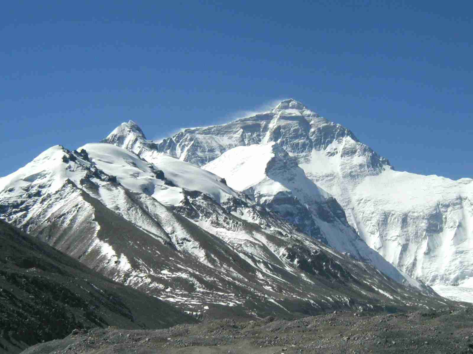
12 MONTHS, 12 MOUNTAINS
Climbing Calendar Ready for World Mountain Day In celebration of World Mountain Day, we've created a calendar for the year to make it easy for...
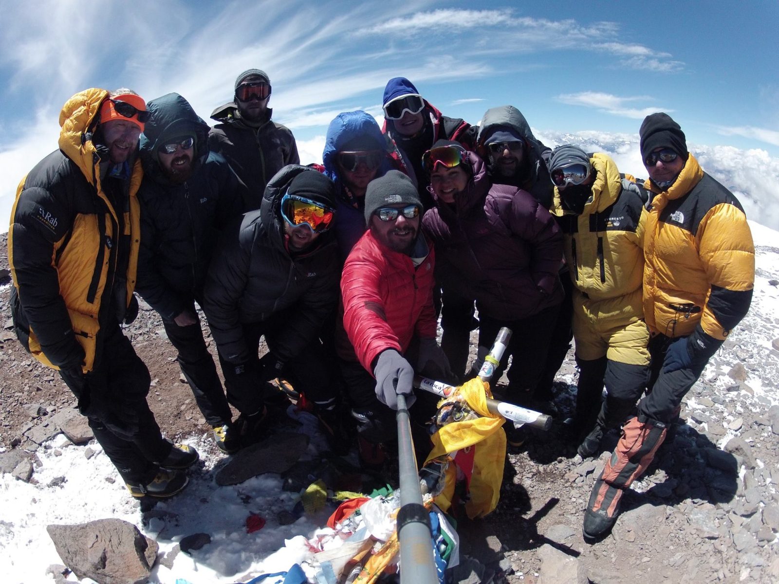
Mount Aconcagua Trip Review
January 2016 This year we had a team of twelve clients from four different countries – Iran, Ireland, England, South Africa and Argentina –...
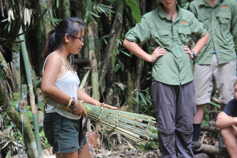
Alcey’s Survival Skills Course at Lupa Masa Jungle Camp
SURVIVAL SKILLS COURSE AT LUPA MASA JUNGLE CAMP | ADVENTURE ALTERNATIVE In celebration of International Rural Women’s Day, we’re talking...